
Project description
The project implemented a solution for coast protection in the form of control facilities that offered the best results and were well suited to the surroundings. The construction of the facilities narrowed the flow profile, leading to faster currents and reduced sedimentation, thereby preventing the formation of sandbars and providing favorable depths for navigation.
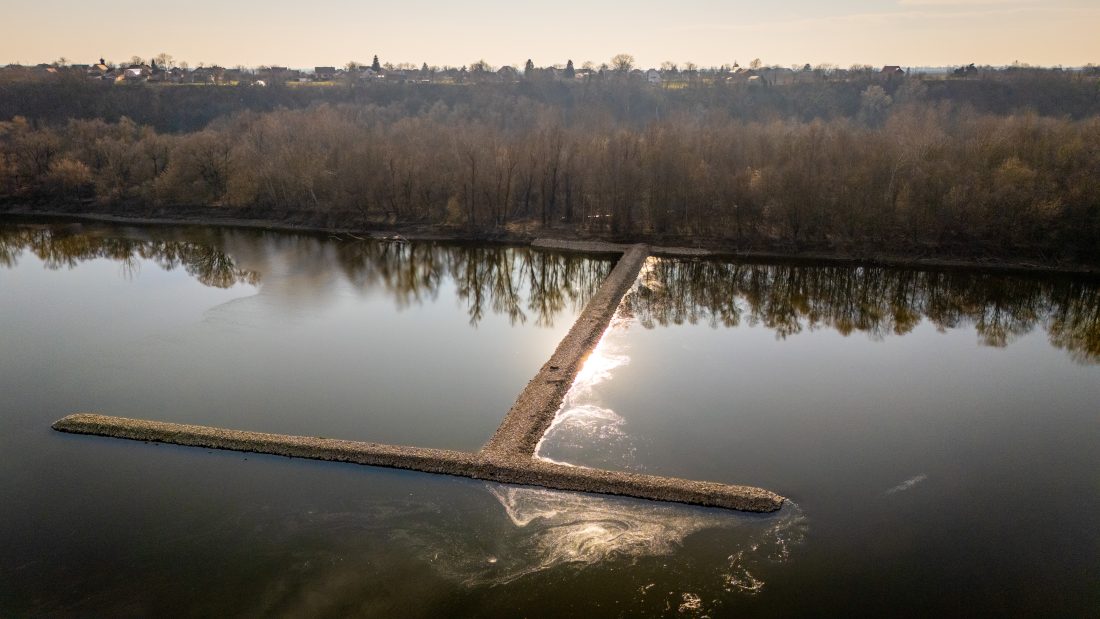
This project constructed the following control facilities:
• transverse groyne 21-D/1,
• transverse groyne 22-D/1,
• longitudinal structure 22-23-D/1.
The longitudinal structure and the transverse groynes fixed the projected regulatory line and worked to narrow the flow profile downstream by forming a new coastline. In this way, positive effects were achieved in the watercourse, and by reducing the width, more favorable depths required for navigation were obtained. Likewise, moving the coastline protected the high bank that was threatened by erosion.
Project results
Regulation of the Danube River Waterway at Sotin from 1321 rkm to 1325 rkm yielded the following results:
- Establishing a greater degree of year-round navigation safety, especially during the summer months when the danger of stranding is more pronounced due to low navigable water levels, and the increased traffic of cargo and passenger vessels. This will improve the navigability conditions on the core network (Danube river) of the Rhine-Danube TEN-T Corridor.
- Establishing preconditions for further development of inland waterway transport in the Republic of Croatia. The regulation of the waterway at Sotin, in parallel with a number of other planned or incipient investments (modernization of ports in Slavonski Brod and Osijek, construction of a winter shelter in Opatovac), will enable the growth of river traffic (transport of goods and passengers), an environmentally friendly form of transport encouraged by the EU.