Project description
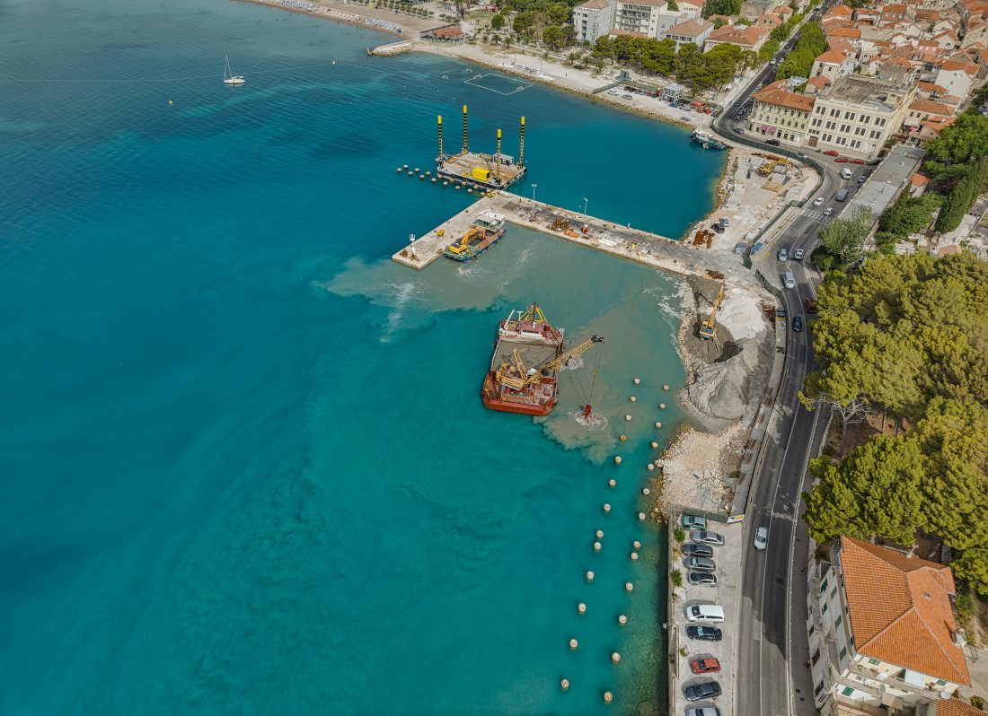
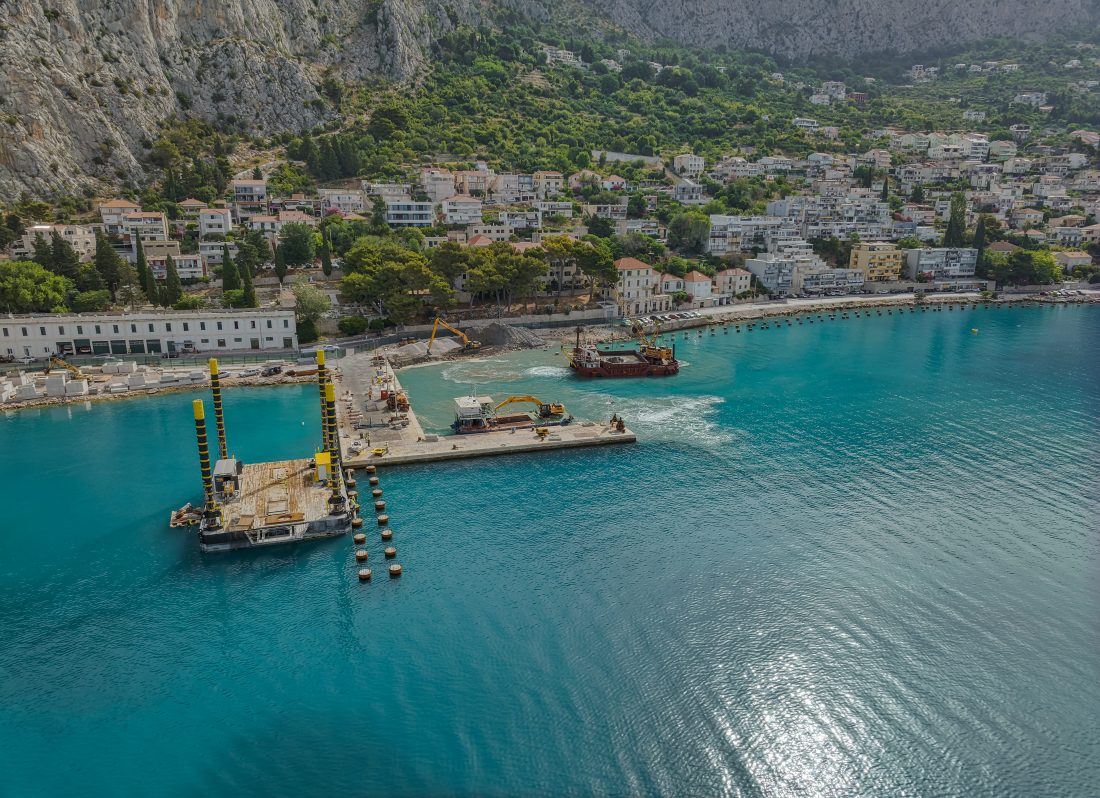
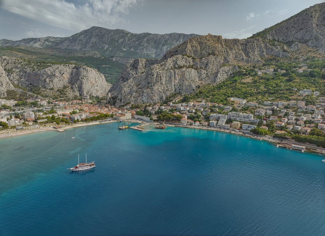
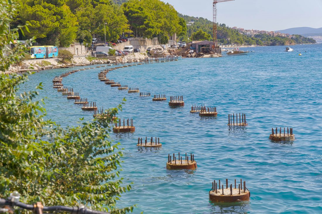
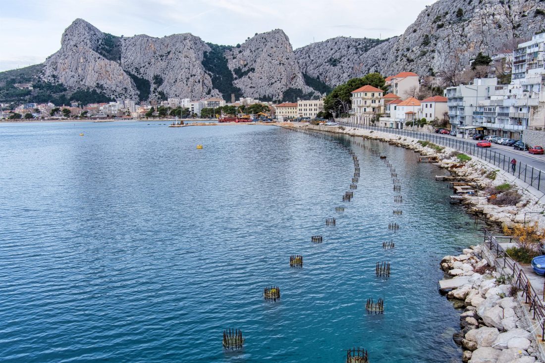
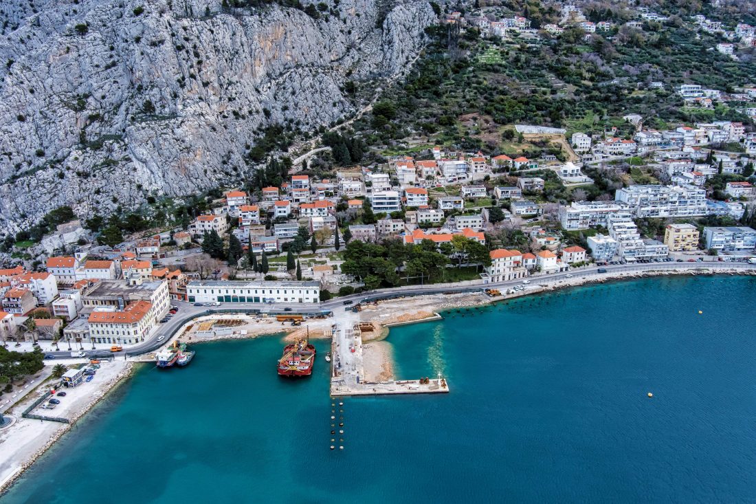
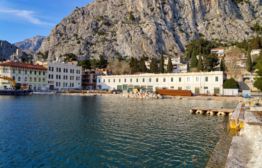
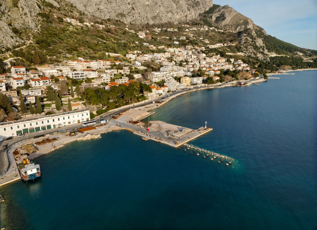
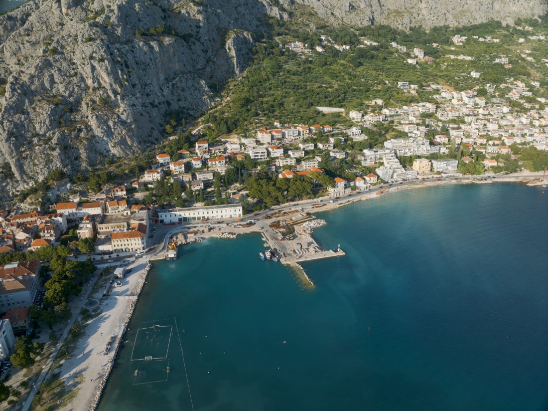
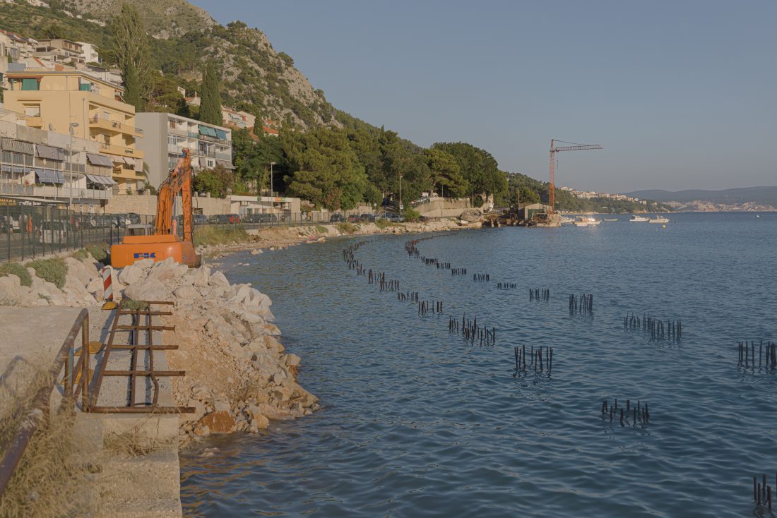
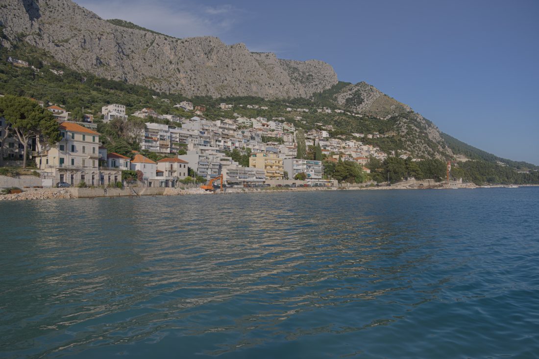
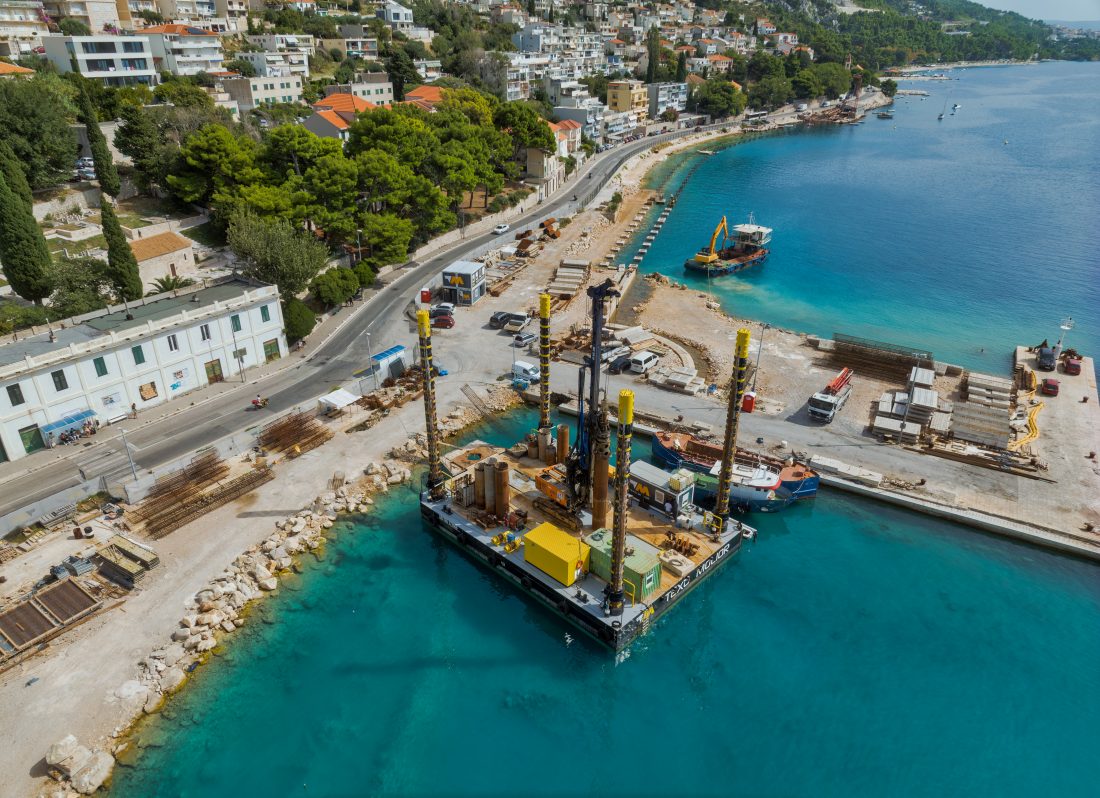
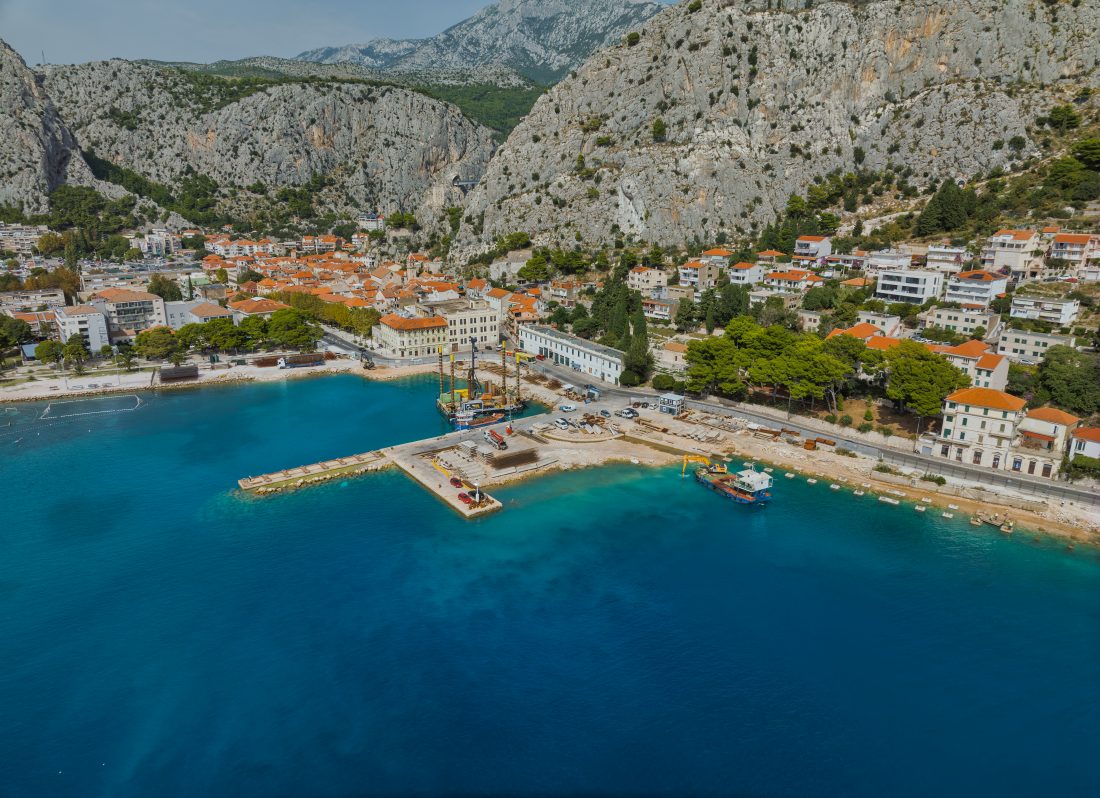
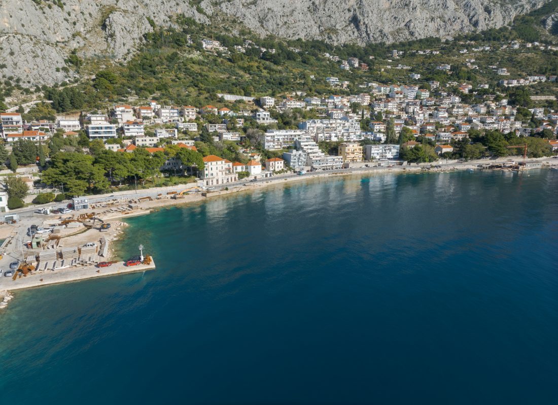
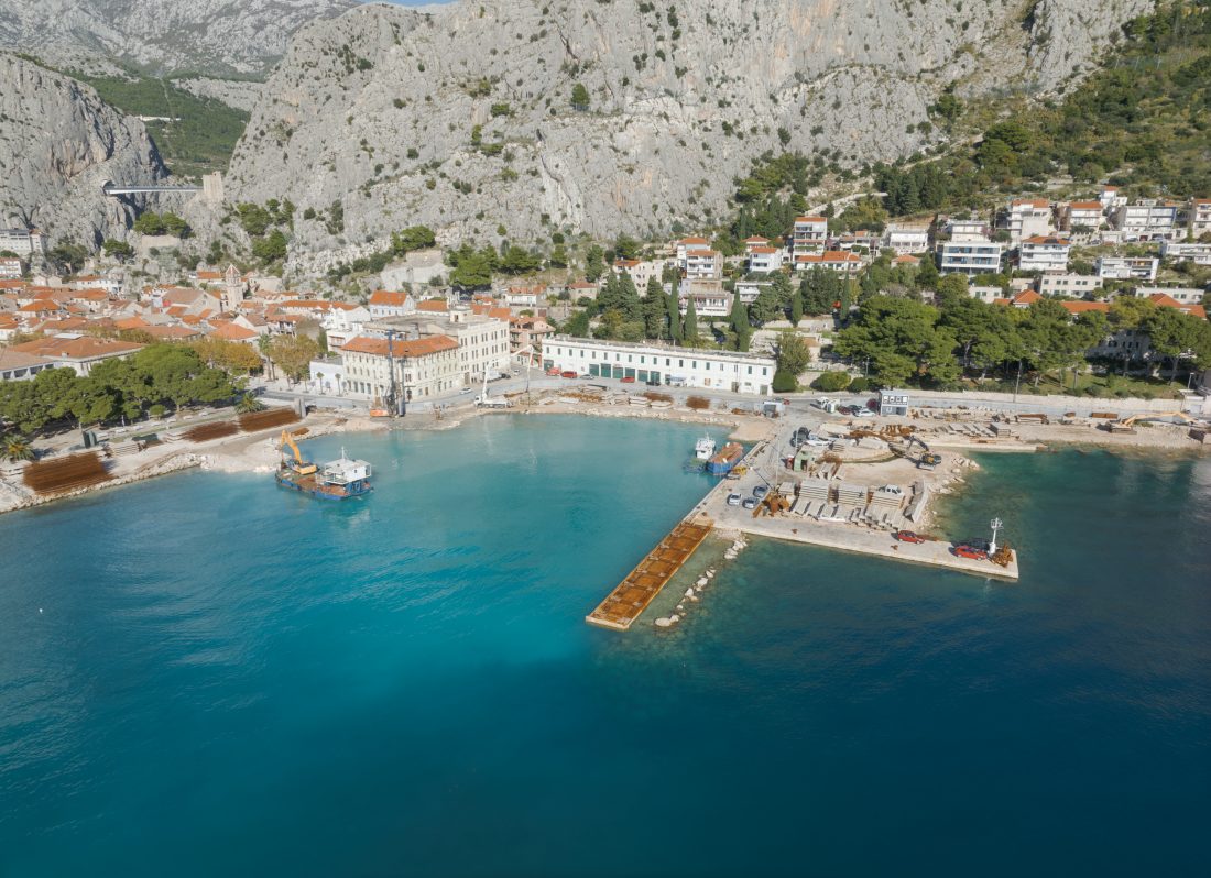
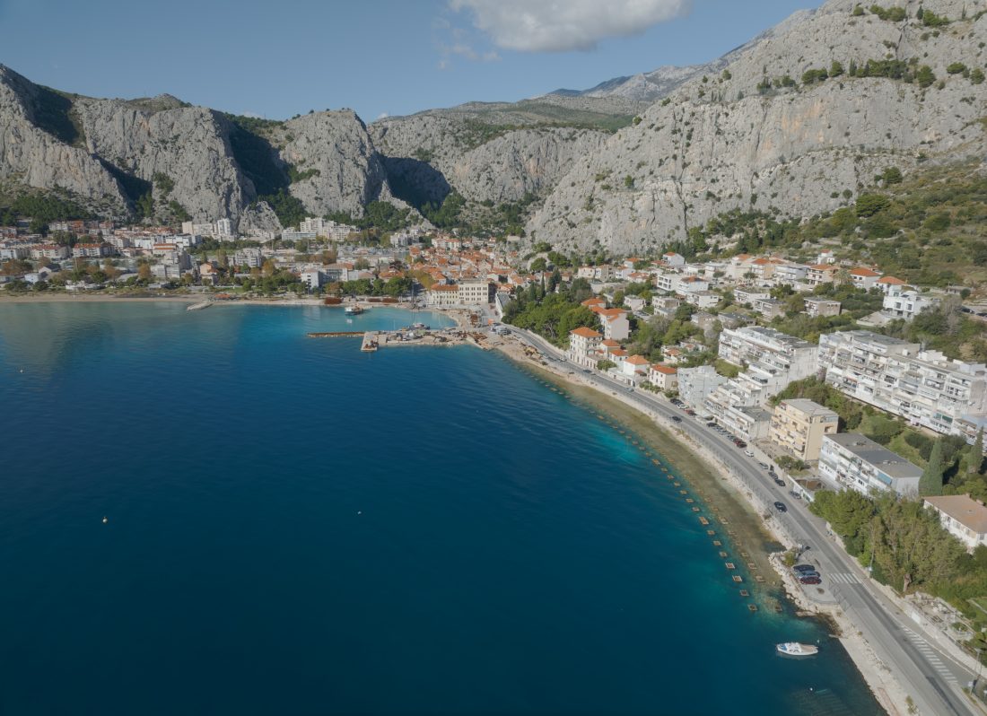
The aim of the project is the reconstruction and extension of the port of Omiš, ensuring optimal conditions for performing year-round public passenger maritime transport and establish a new regular ferry line to Postira on the island of Brač.
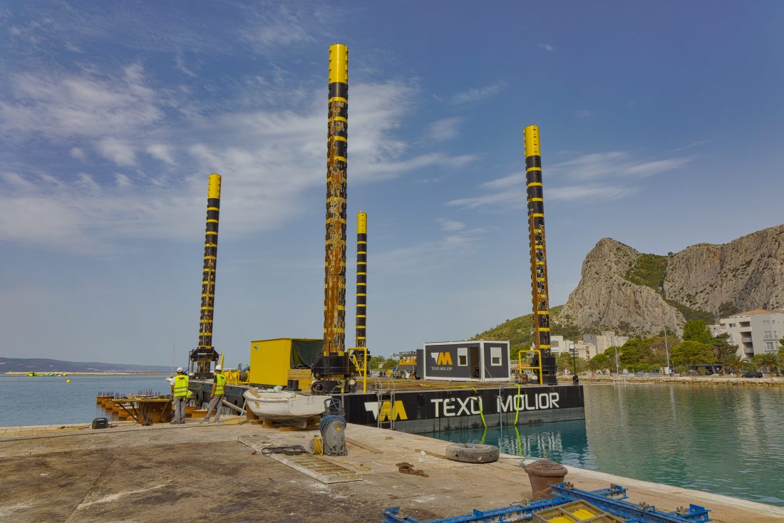
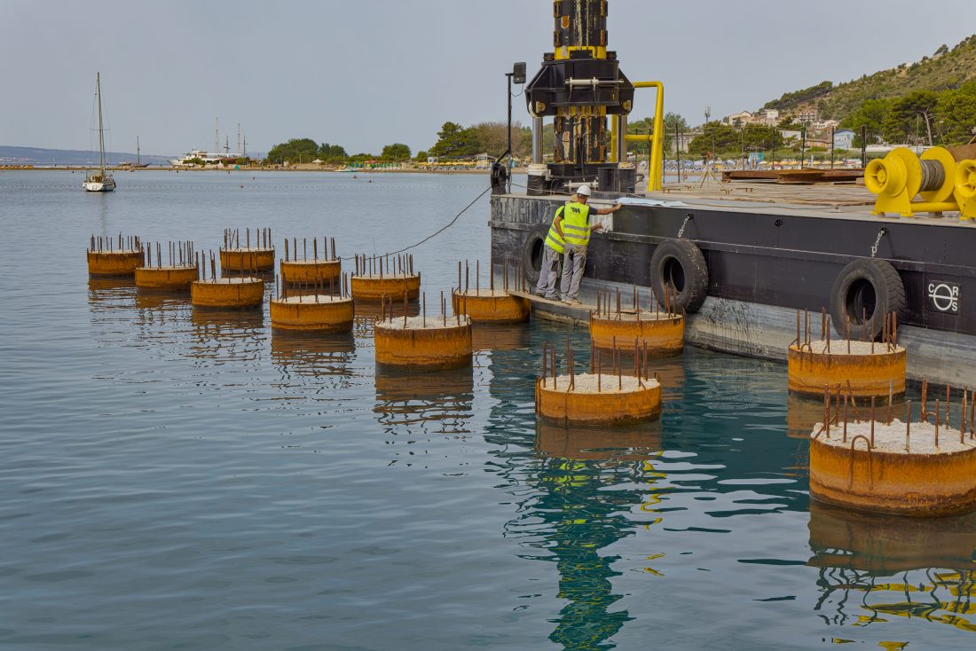
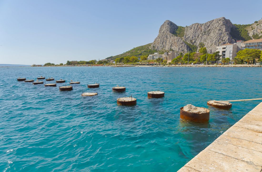
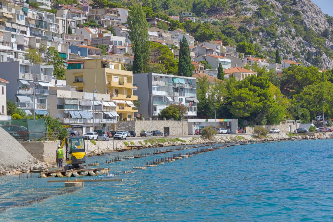
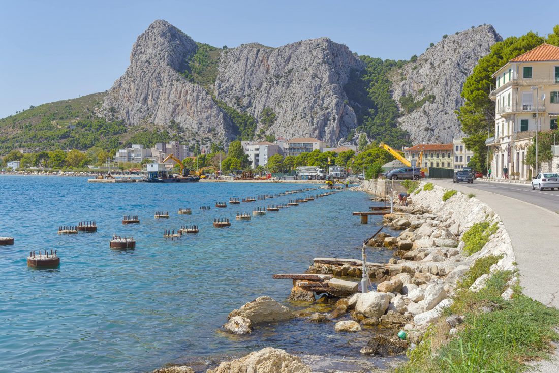
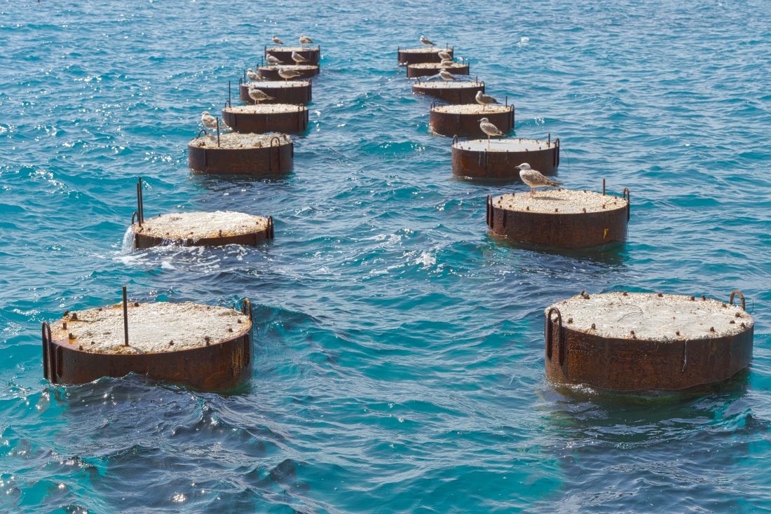
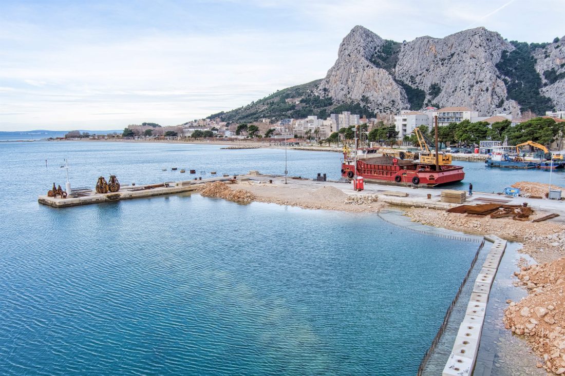
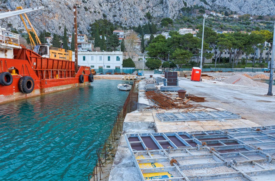
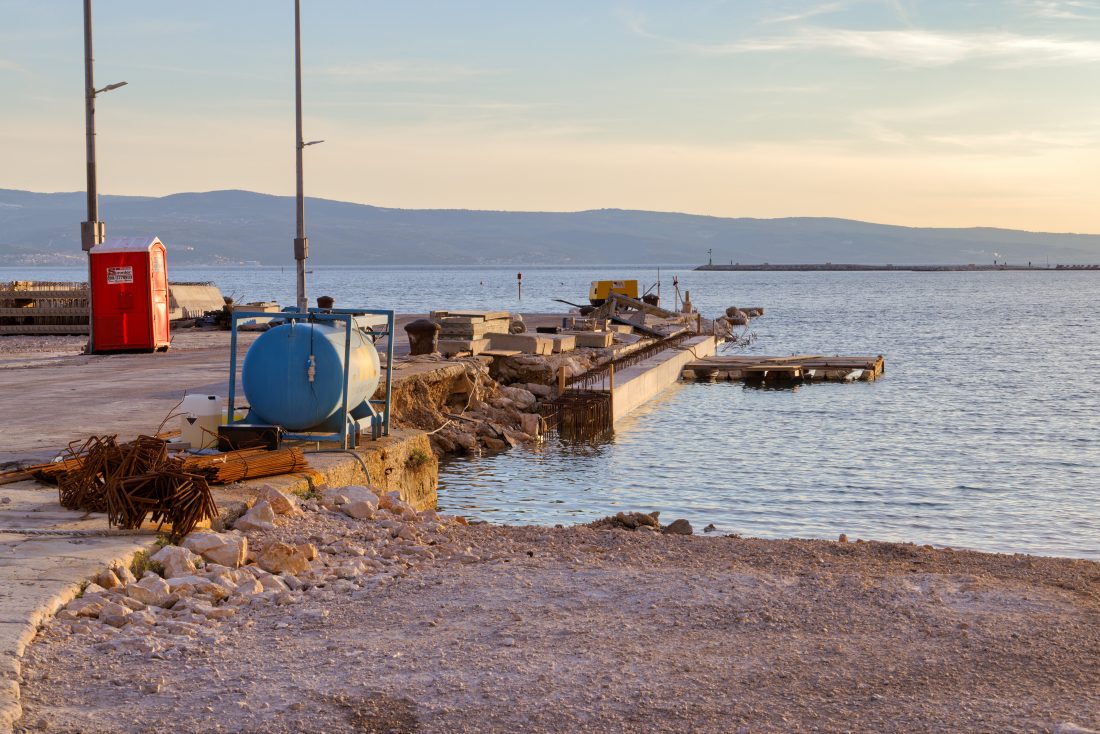
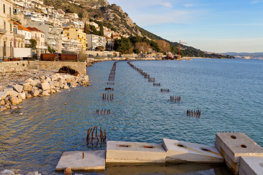
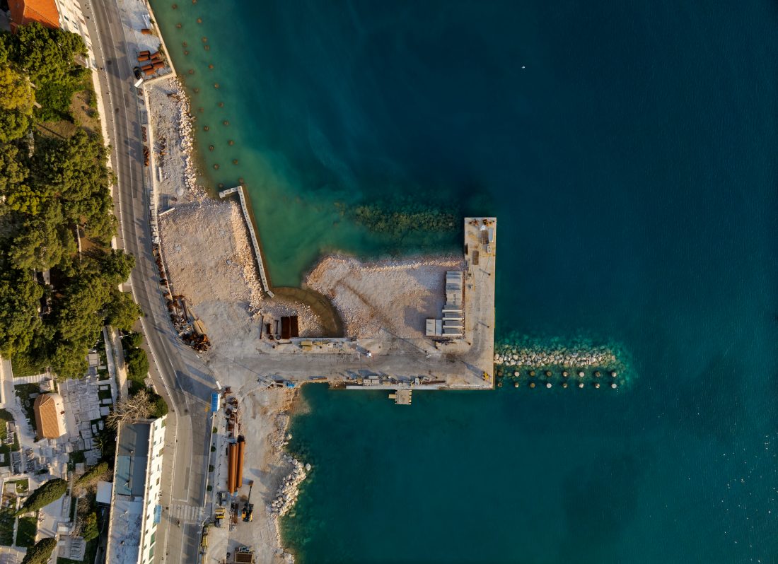
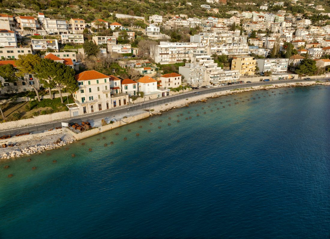
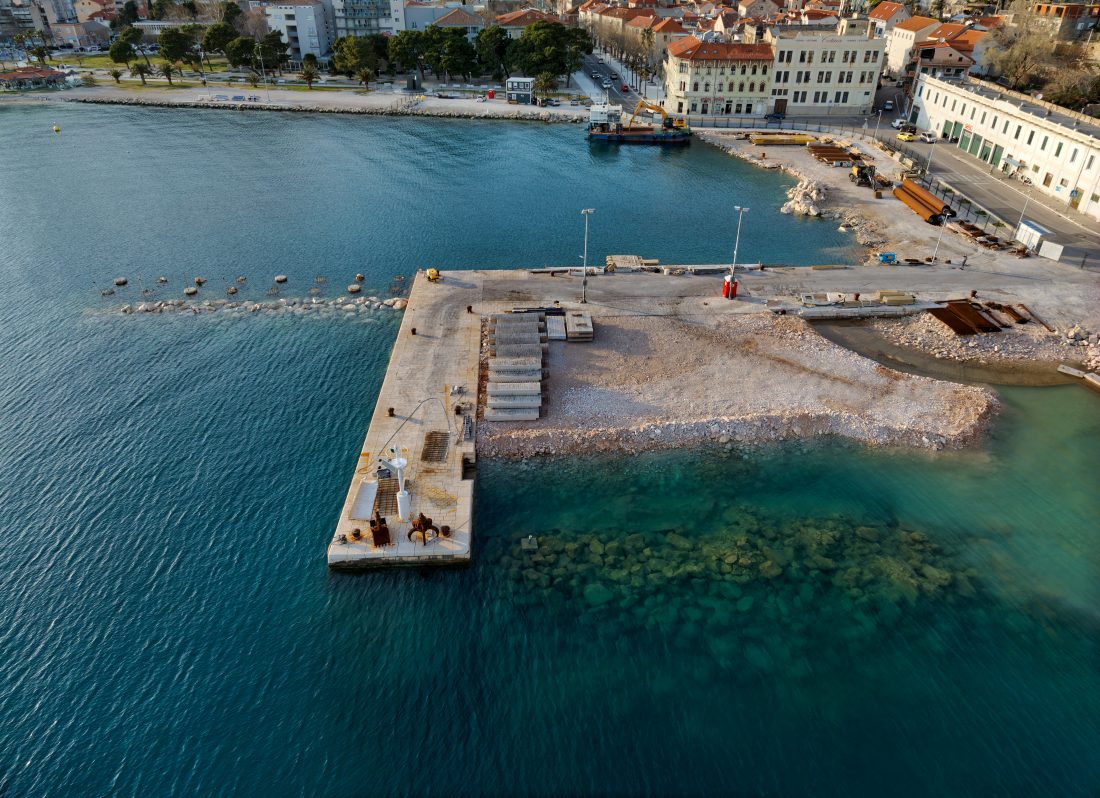
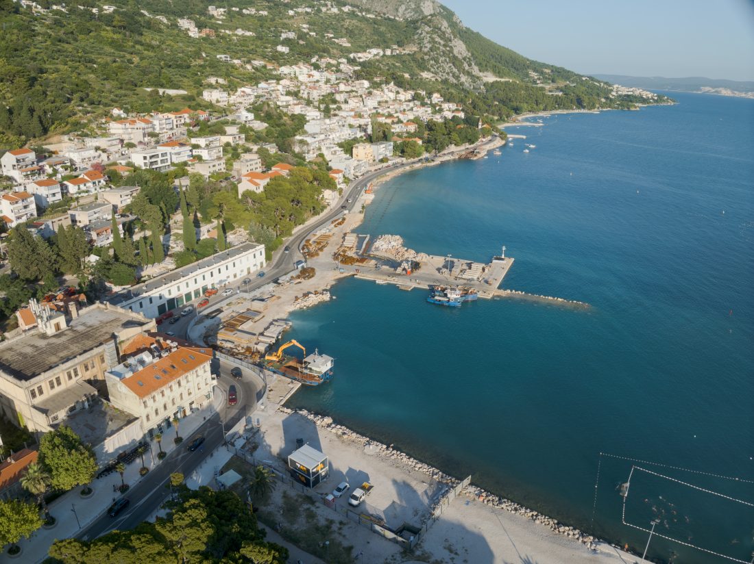
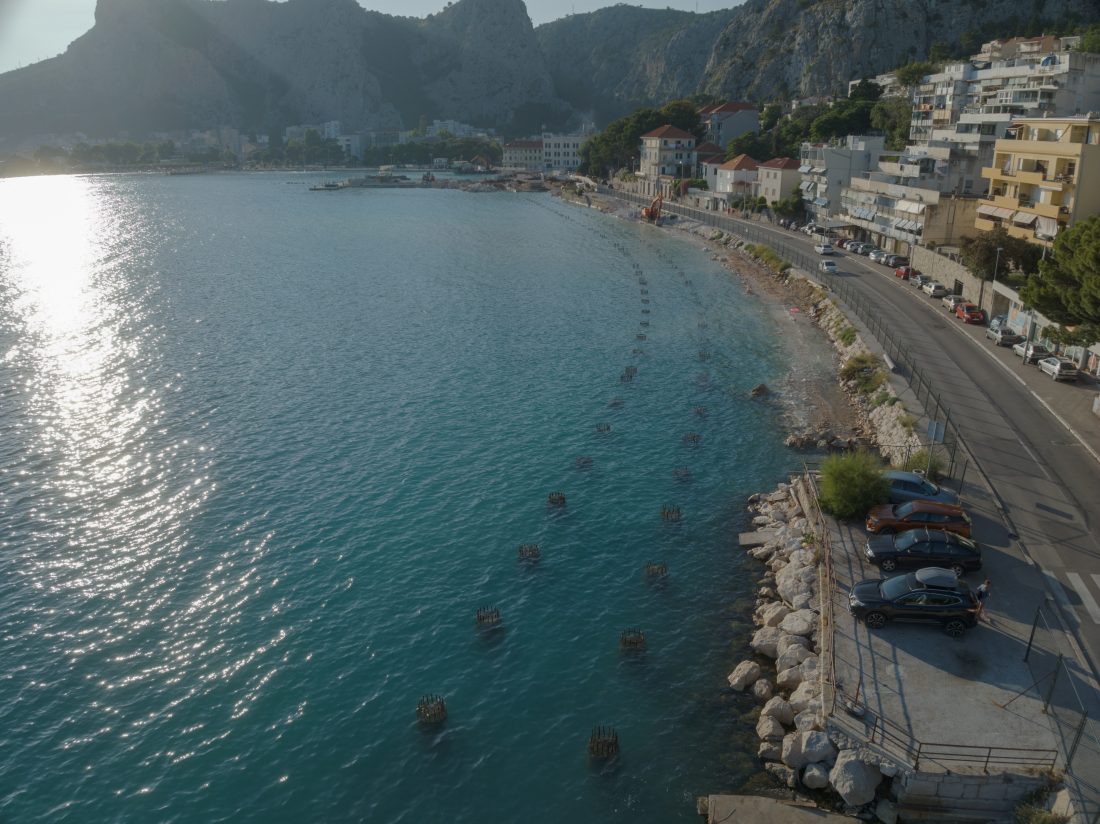
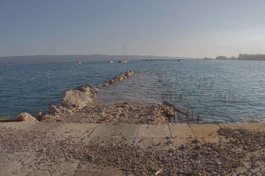
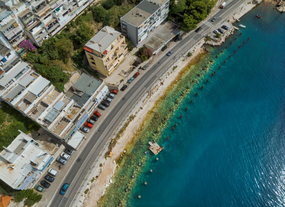
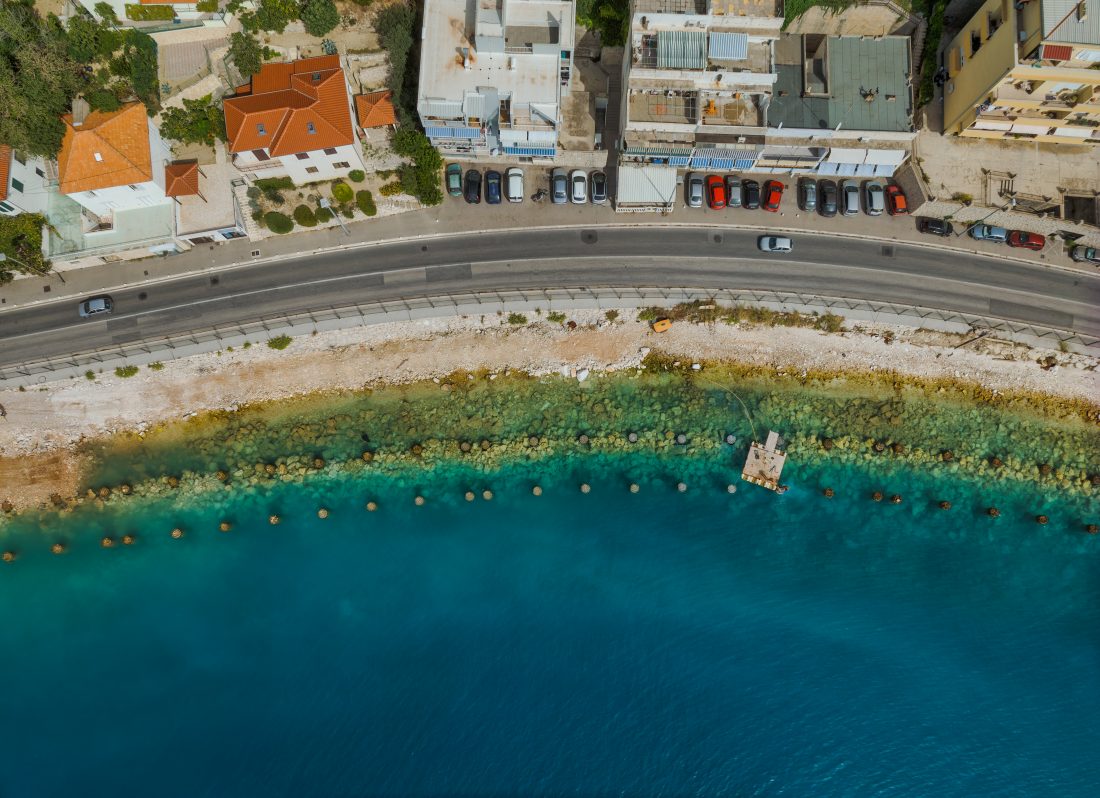
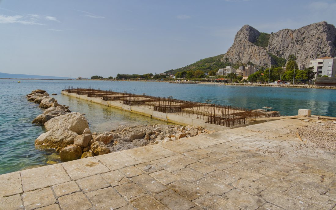
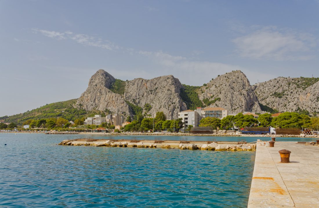
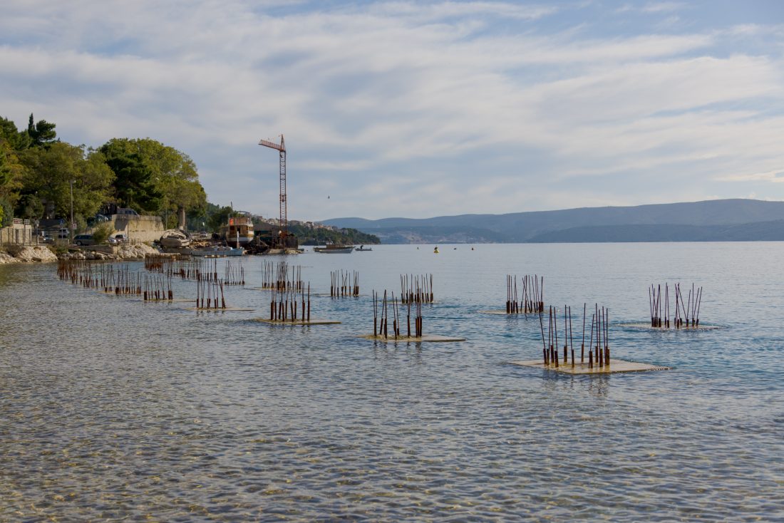
The location of phase II of the construction extends from the existing pier (eastern end of Fošal) to the southeast along DC8 to Skalica Road. The expansion of the existing port will increase the portside land area from about 1,250 m2 to almost 10,000 m2. The new port will consist of the portside area and the port basin, its quayside berthing space will be extended to a total of 745 m within the protected basin and 280 m of berthing shore on the outer breakwater.
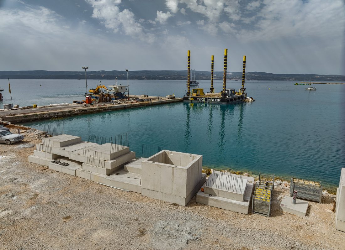
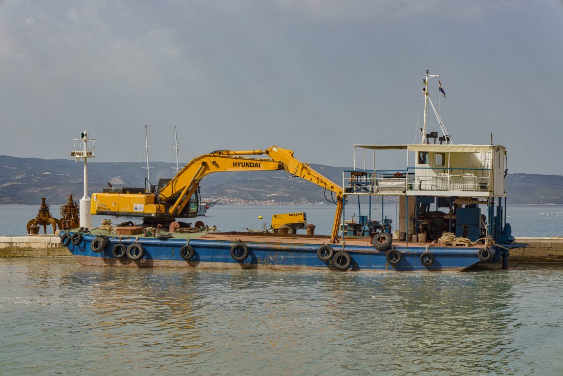
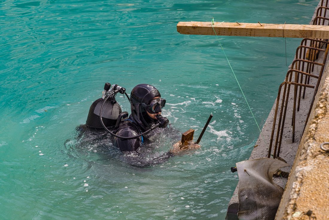
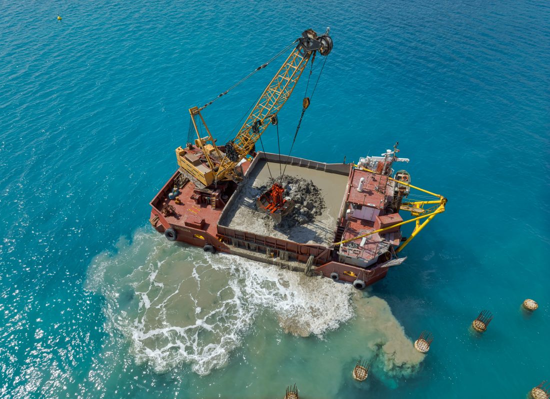
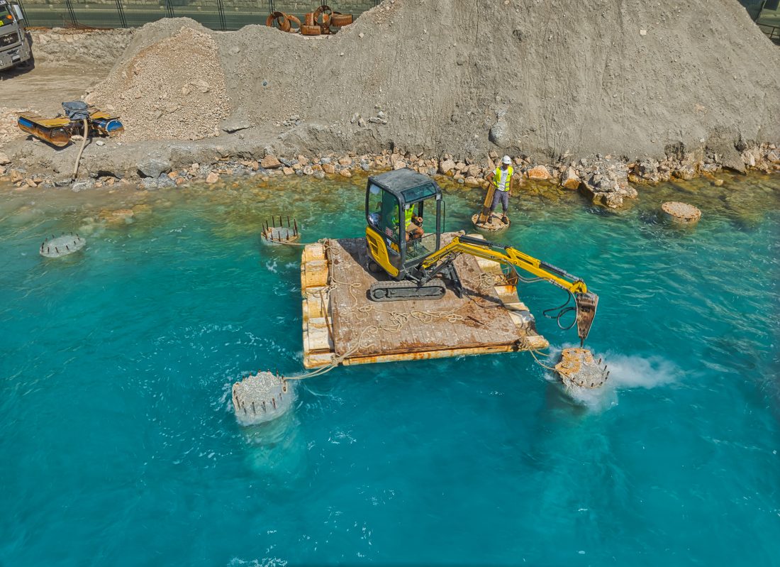
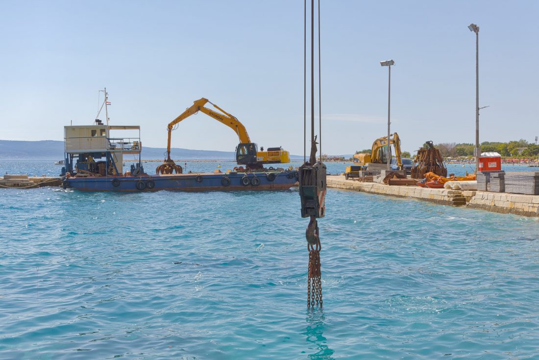
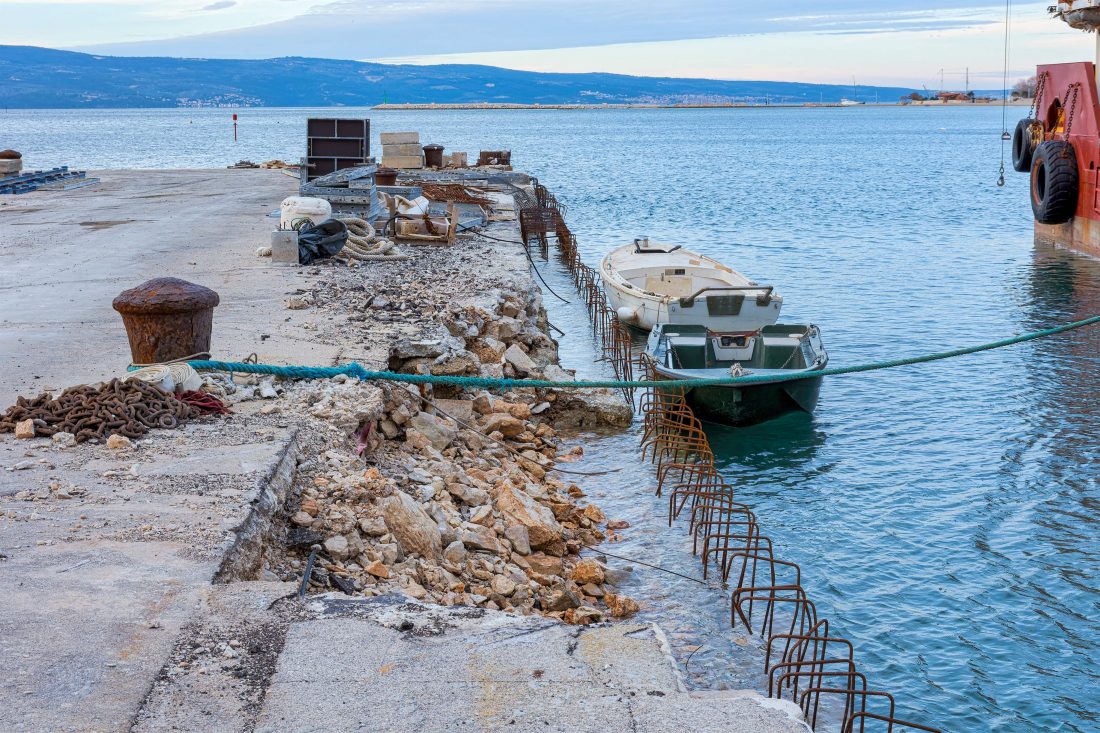
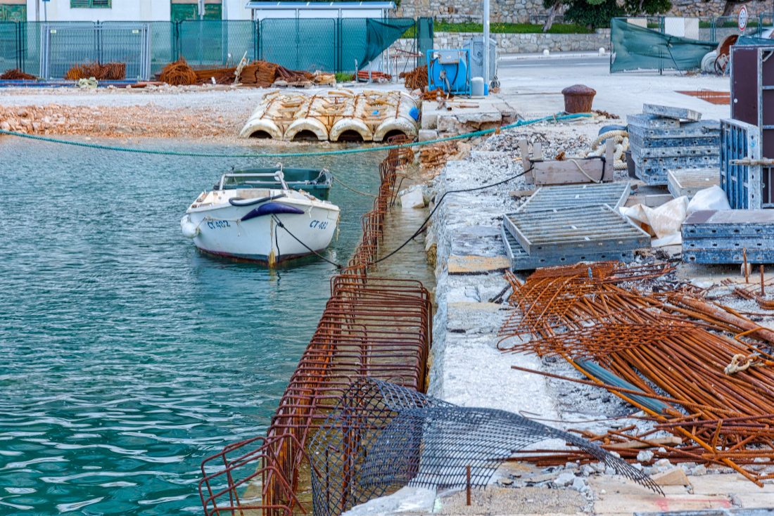
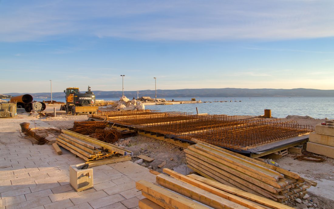
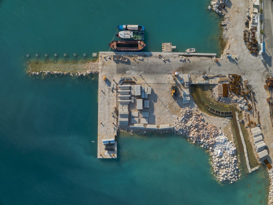
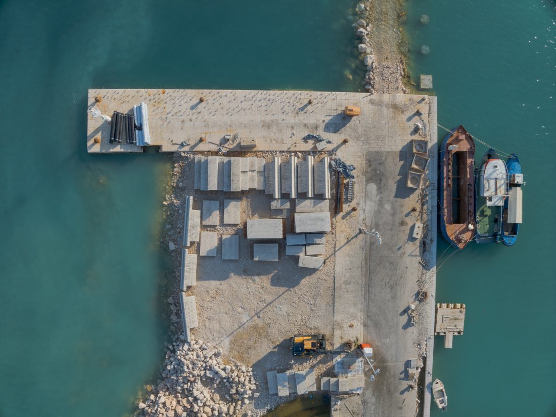
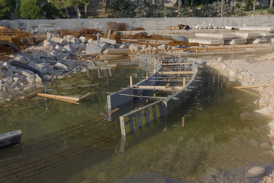
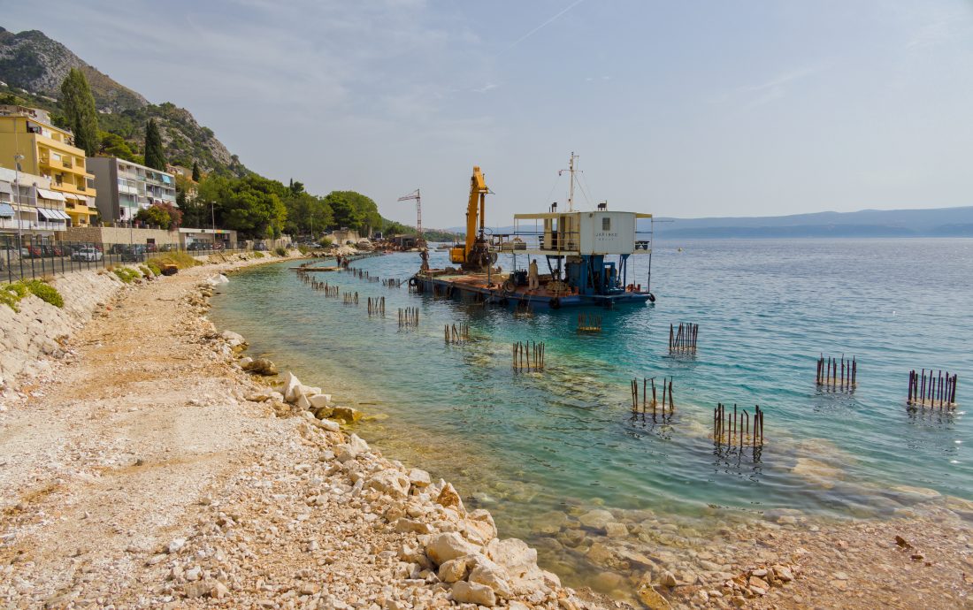
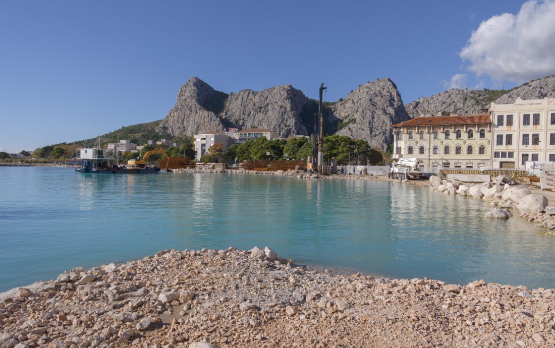
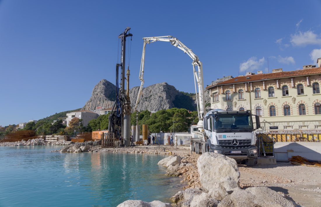
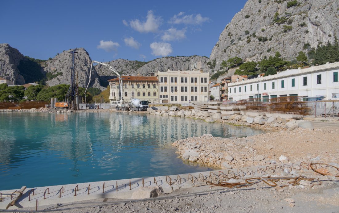
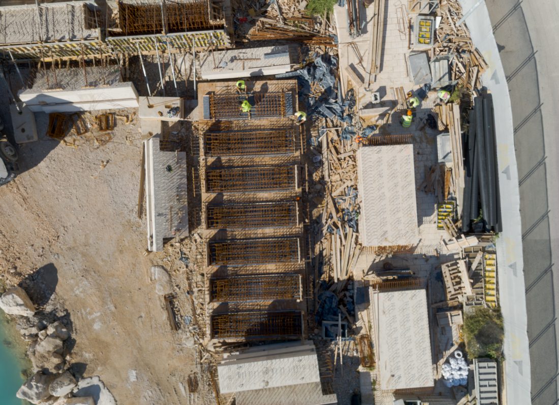
Planned activities include works on the following coastal structures:
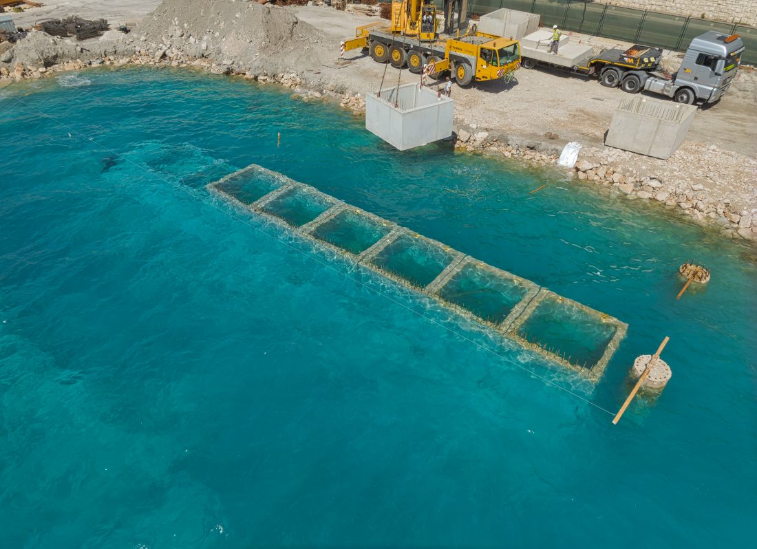
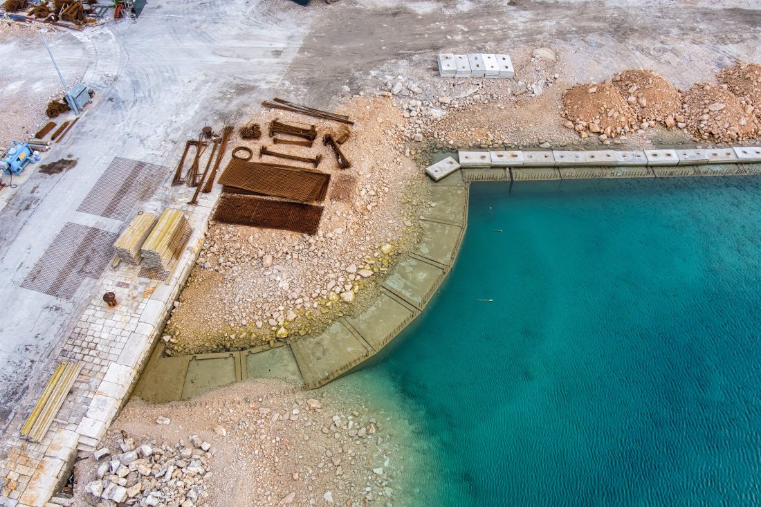
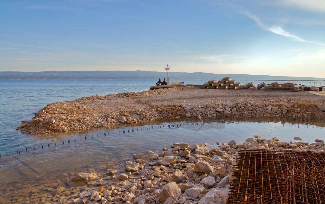
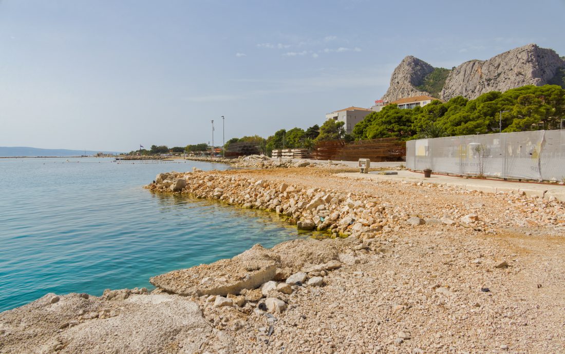
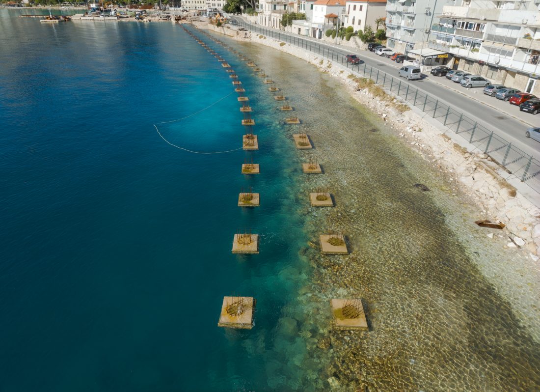
- Coastline A – construction of coastline A, with a total length of approx. 300 m, will produce a new 10 m wide coastline with a green belt.
- Coastline B – the new coastline B is realized as a backfill structure along the east side of the existing breakwater, roughly perpendicular to the new coastline A.
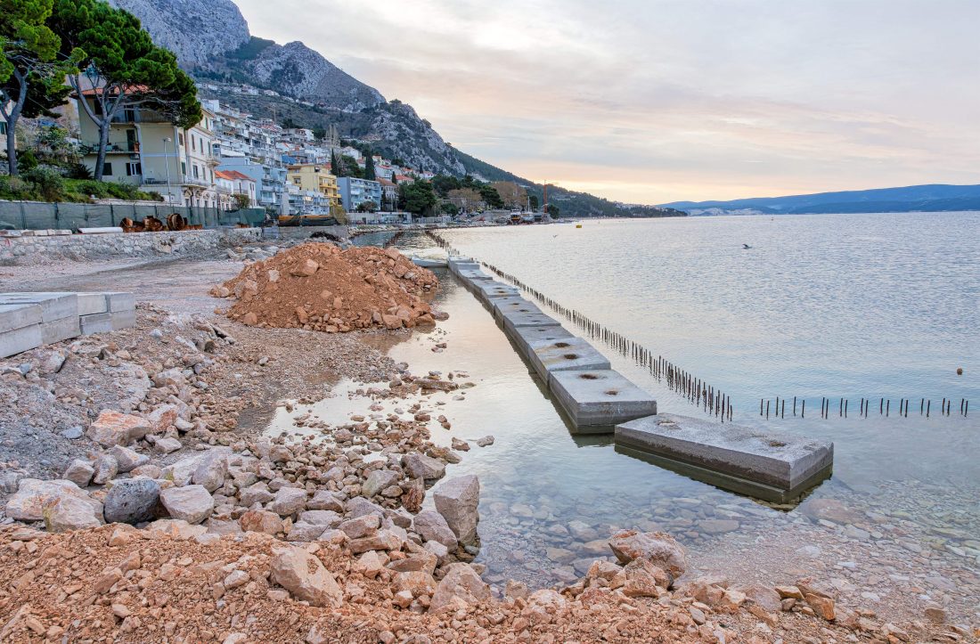
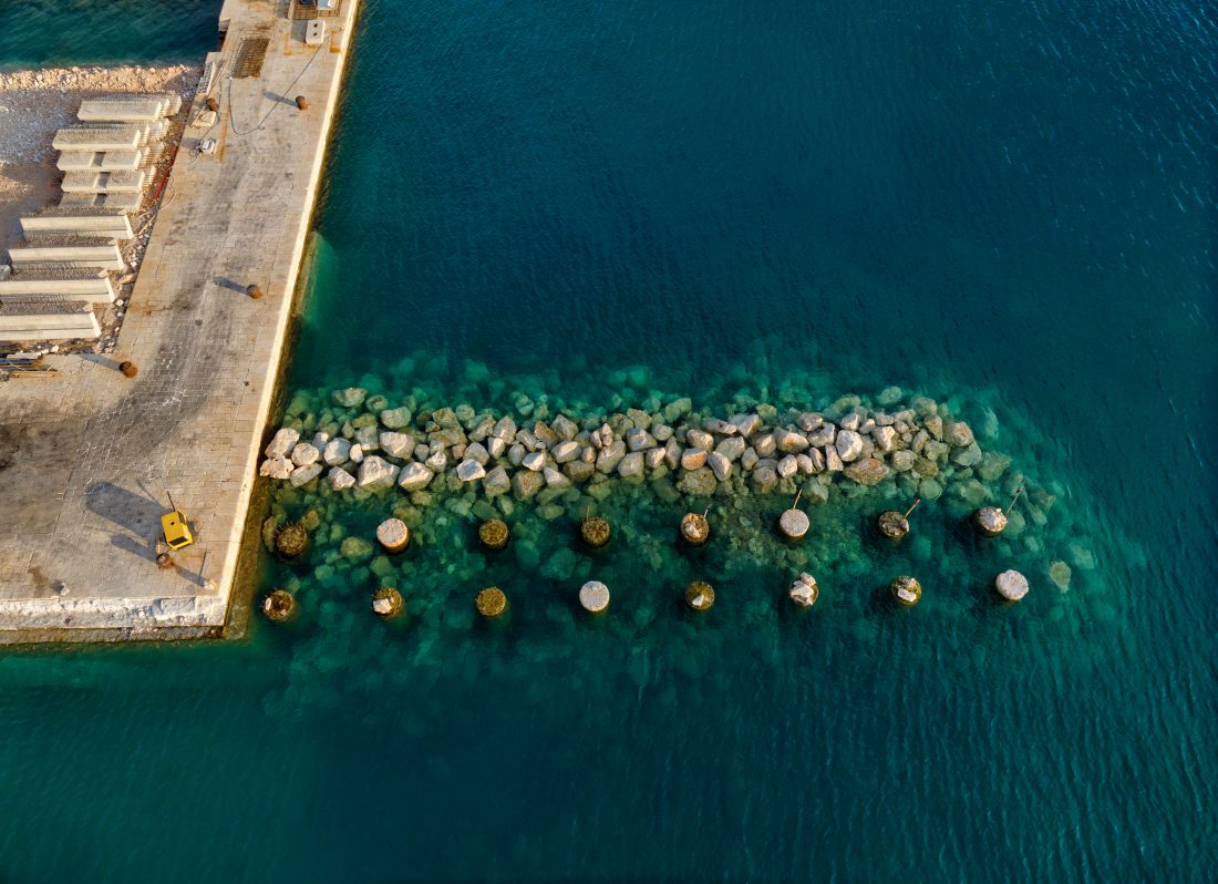
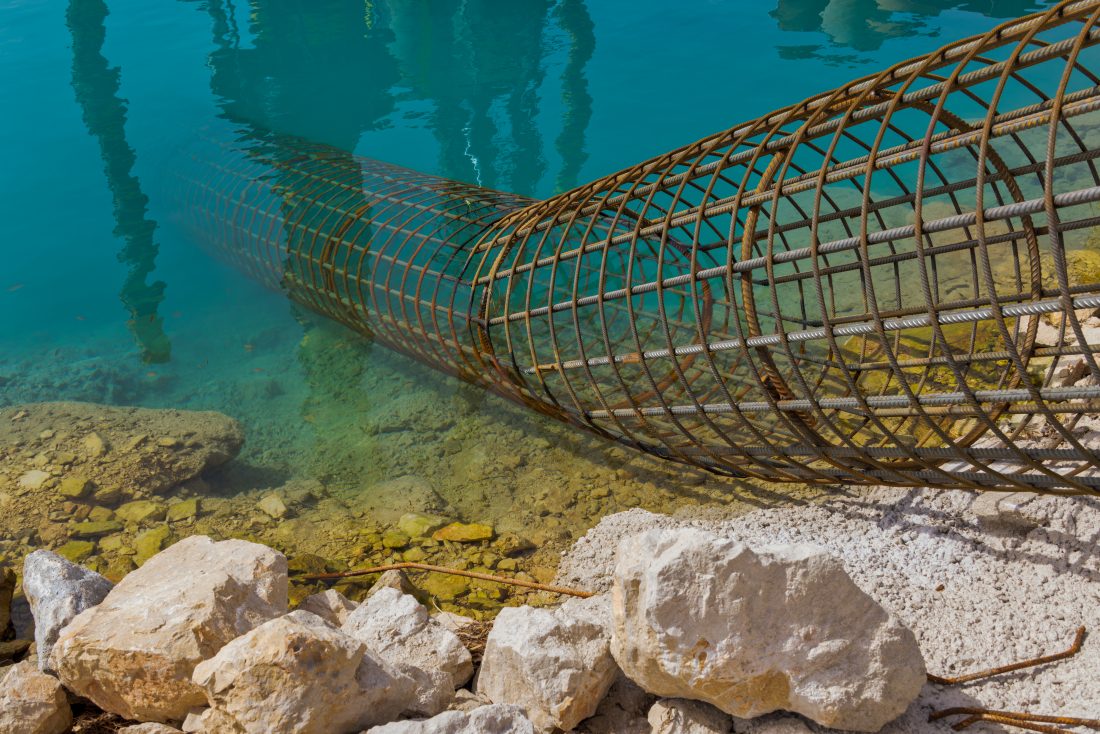
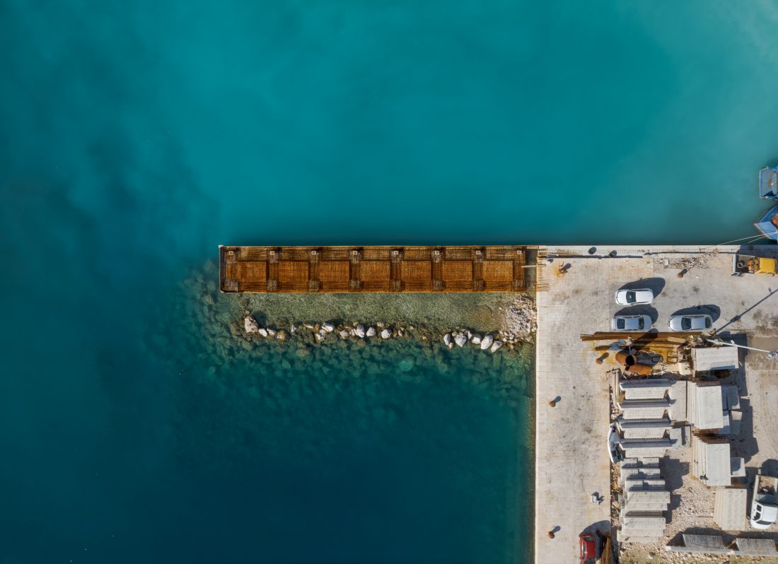
- Coastline C – extension of the existing pier in the total length of 35,74 m parallel to the existing breakwater. On the north-west side of the extension, a new berthing coastline will be obtained, with an operational shoreline width of 4,75 m, while the south-east side of the extension is shielded by a protective sea wall and does not have the character of a berthing shore.
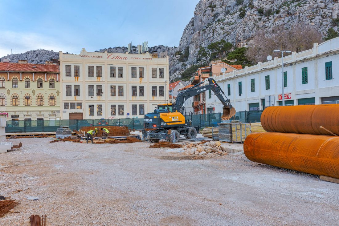
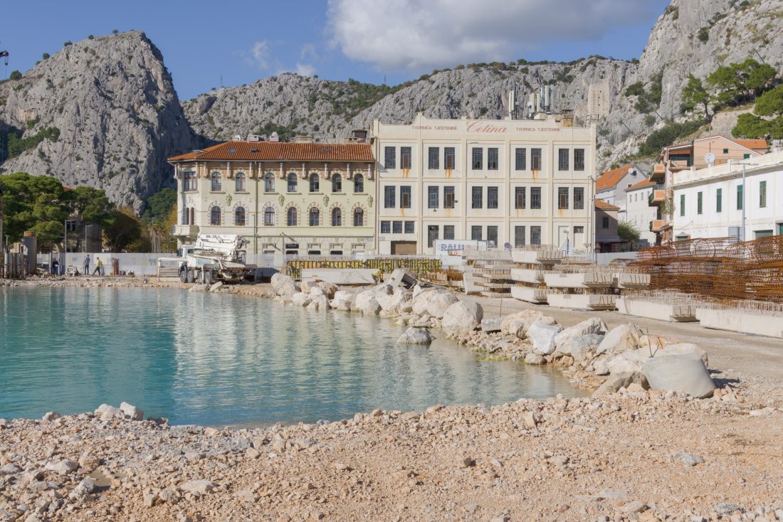
- Outfitting (including architectural layout, water supply and drainage installation, installation of power supply, horticultural arrangement and watering, and putting into service all the components integral for port operation).